
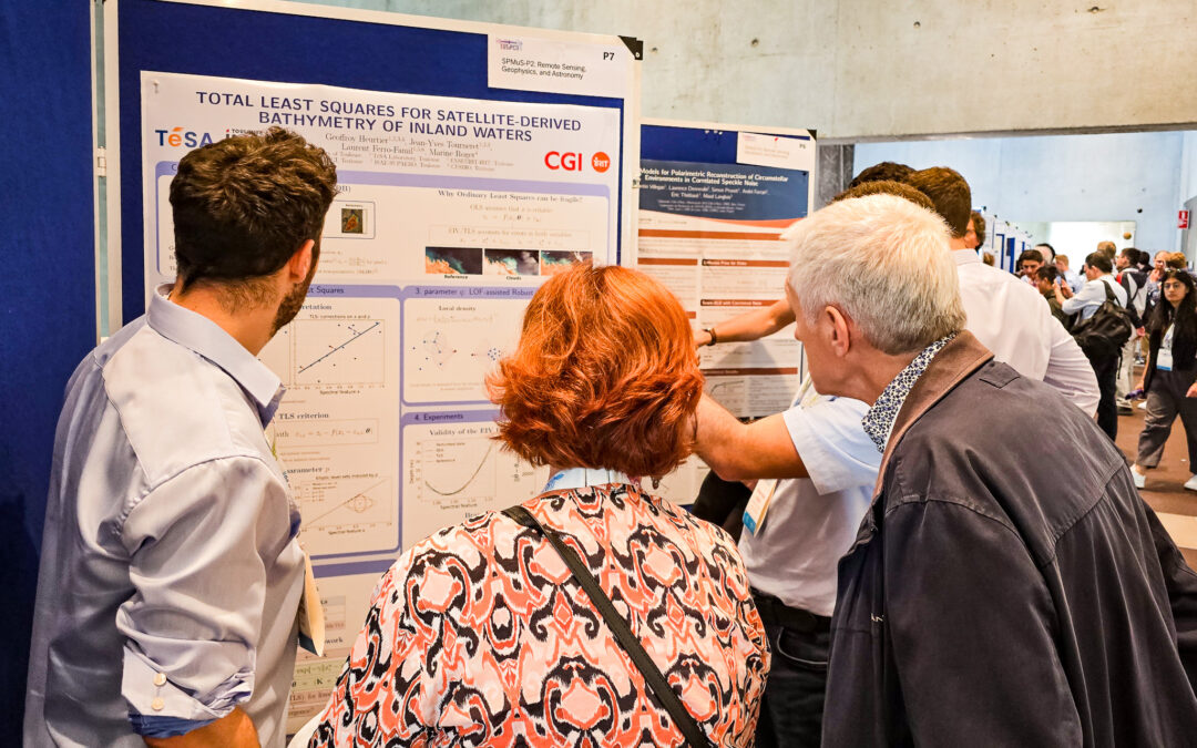
📡 How to measure the depth of a lake… from space?
This is the challenge tackled by @geoffroy heurtier, a TéSA PhD student 🛰️, in his poster presented at the European Signal Processing Conference (EUSIPCO) 2026: “Total least squares for satellite-derived bathymetry of inland waters”.
Bathymetry — the topography of the water bottom — is usually measured using drones or boats equipped with sonar. However, this is a costly method, as it is difficult to deploy everywhere, requires one or more operators, and must be repeated regularly because the bottom evolves over time 🌊.
The idea, co-developed with @Jean-Yves Tourneret (ENSEEIHT), Laurent Ferro-Famil (ISAE-SUPAERO) and @Marine ROGER, PhD (CGI), is to use the color of the water 🎨 observed by satellite to estimate the depth. The darker the water, the deeper it is — but many other factors also influence this color. @geoffroy heurtier proposes a statistical method that accounts for the noise present in both the depth measurements and the satellite data, significantly improving accuracy, particularly for deep zones 📊.
Concrete application: monitoring available water volumes, a key issue during drought periods for arbitrating between agricultural, industrial, and domestic uses 💧.
Are you interested in our research work 🔬?
Find us at https://www.tesa.prd.fr 🛰️, we would be delighted to exchange with you!
#TeSA
#Doctorat
#Recherche
#TraitementDuSignal